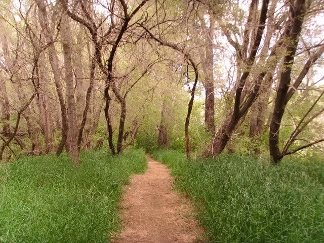
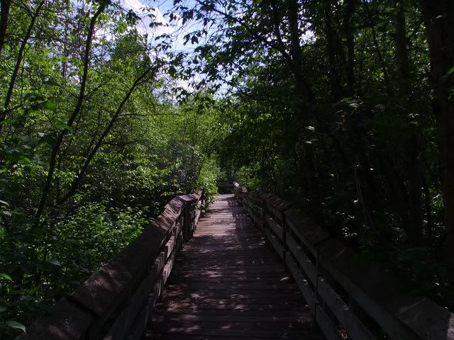
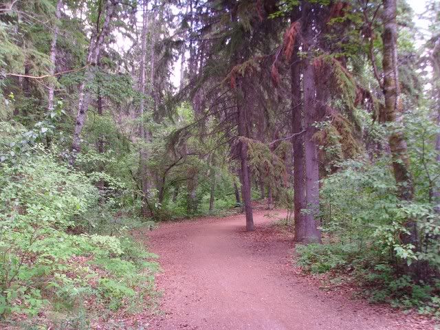
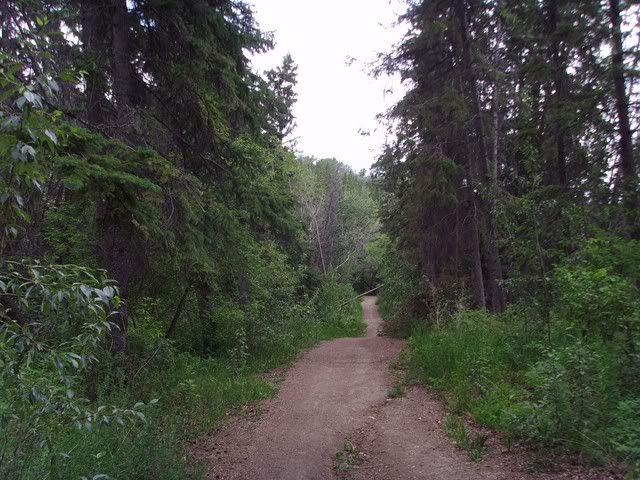
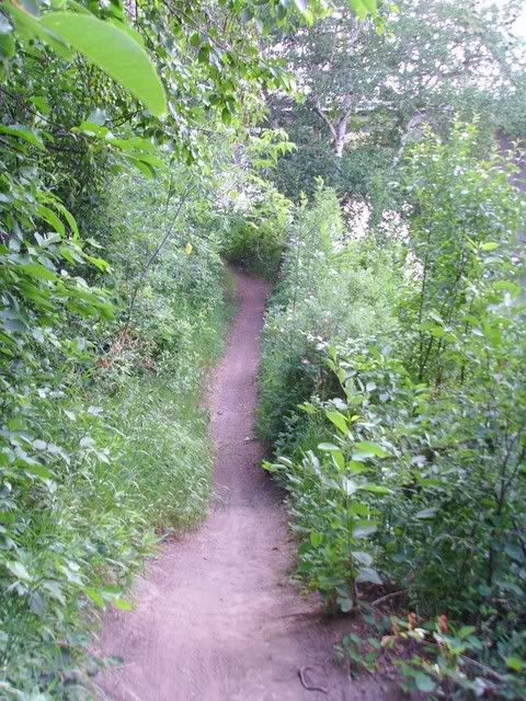
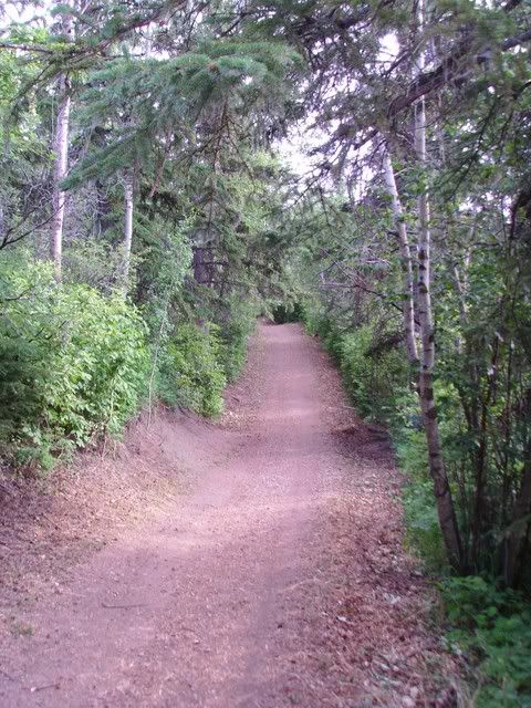
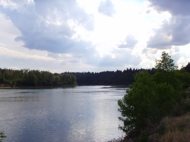
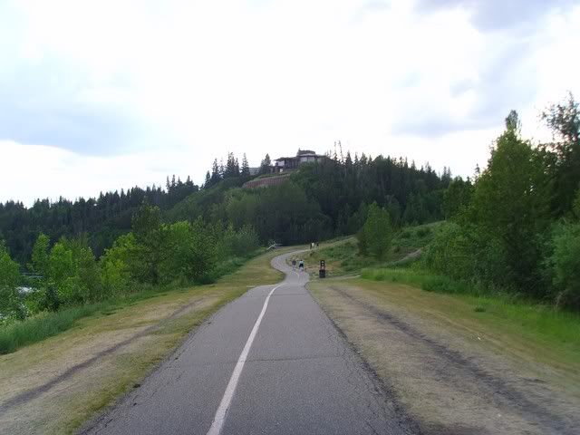
This is actually mostly about the northeastern section of Edmonton's river valley trail system. The bridges make better reference points though, since photos of trails through the trees all start to look the same after awhile.
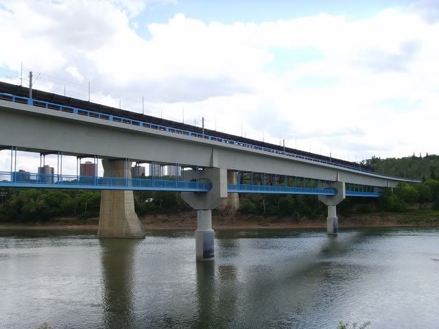
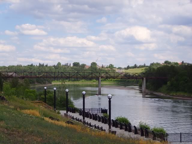
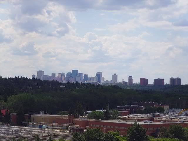
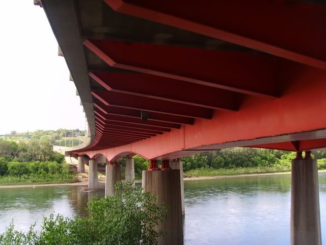
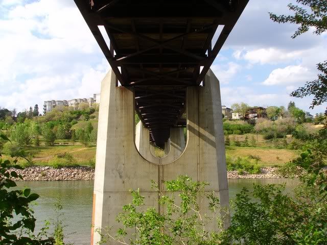
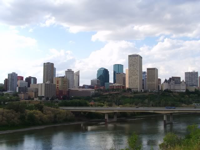
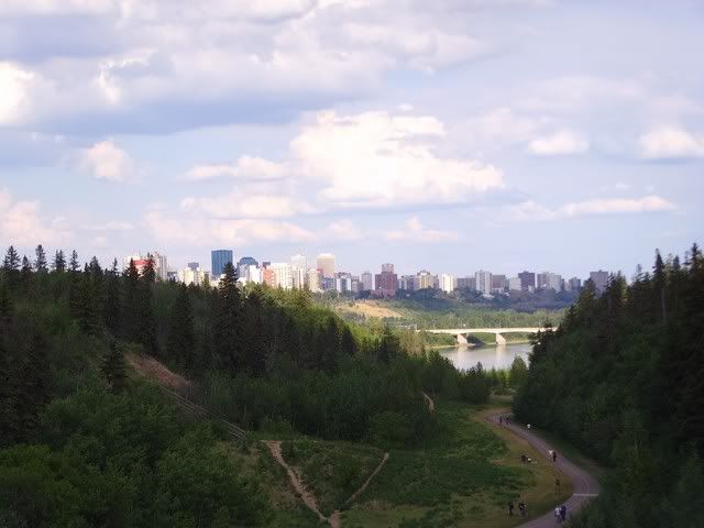
High Level and Menzies
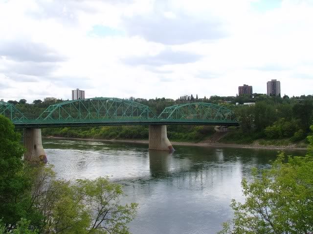
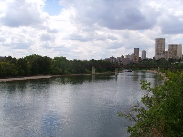
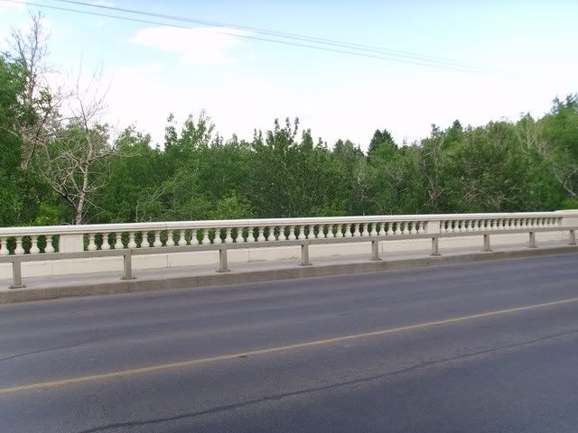
Followed by Walterdale
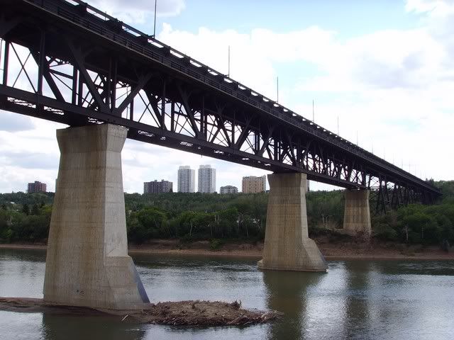
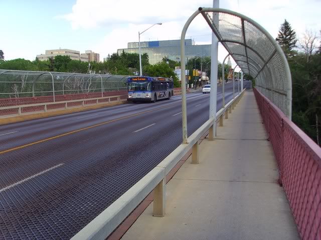
James Macdonald and Low Level
Louise Mckinney Park Foot Bridge
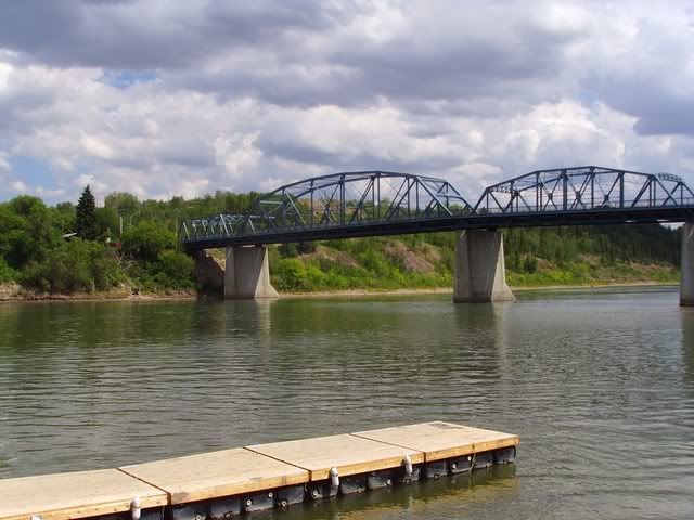
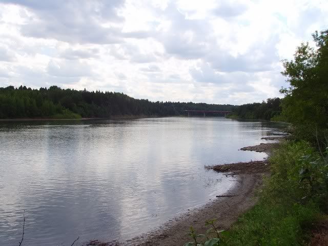
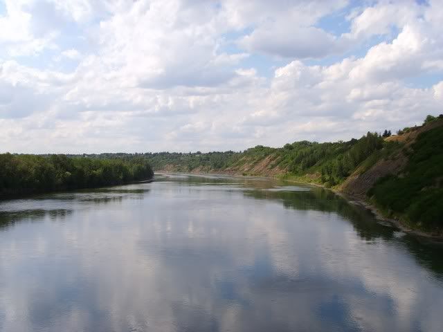
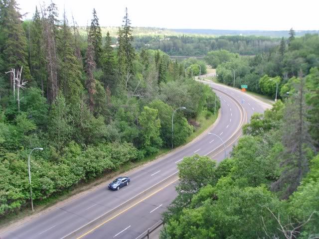
Dawson
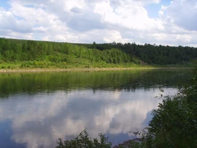
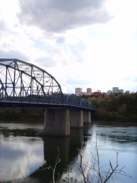
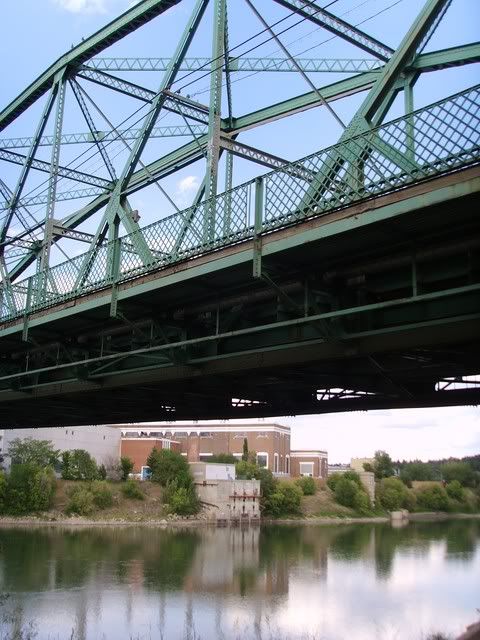
Capilano
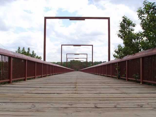
Capilano Foot Bridge
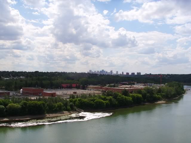
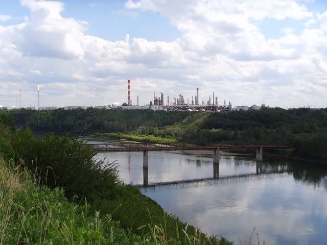
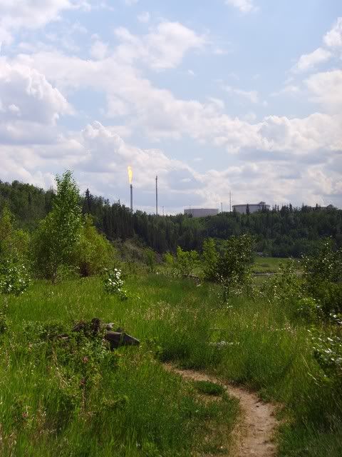
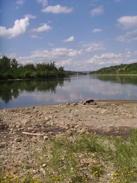
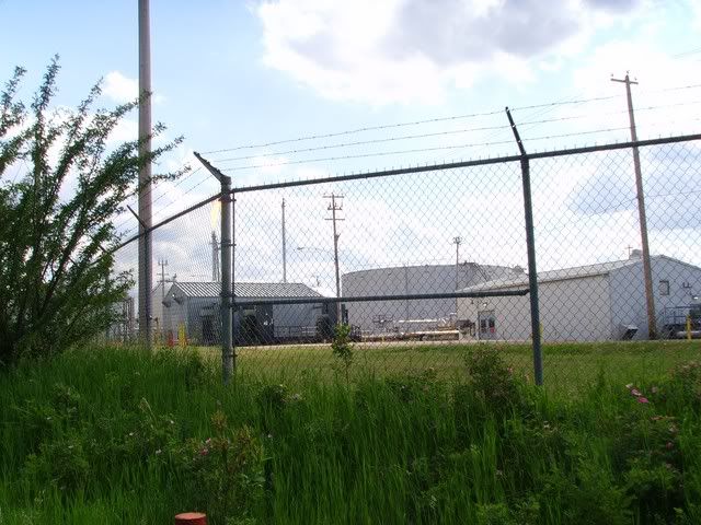
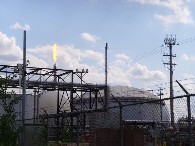
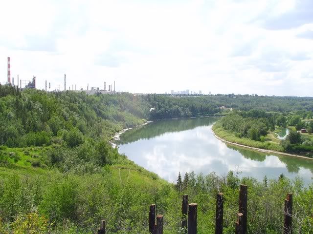
Goldbar WWTP
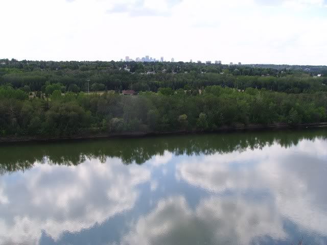
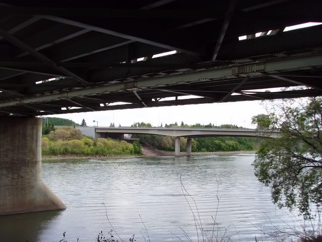
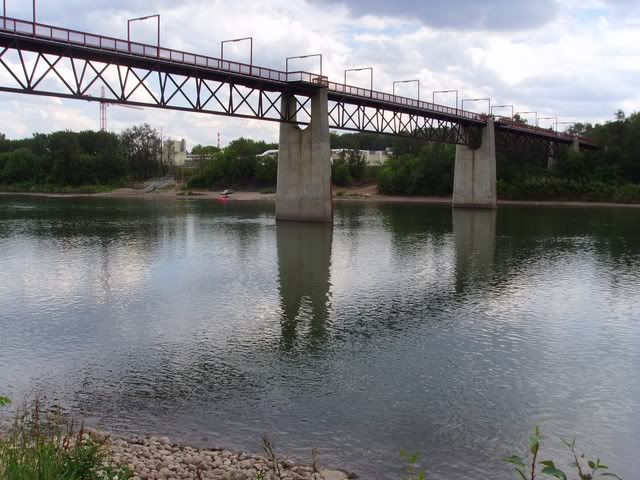
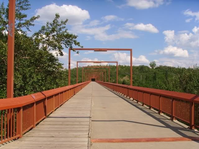
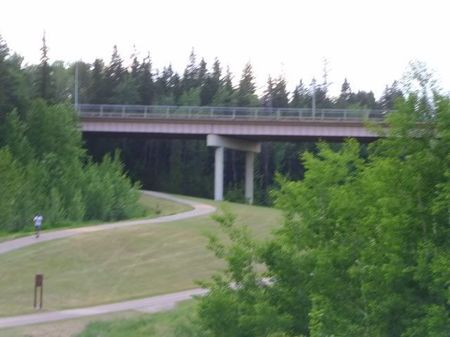
Rundle Park Foot Bridge
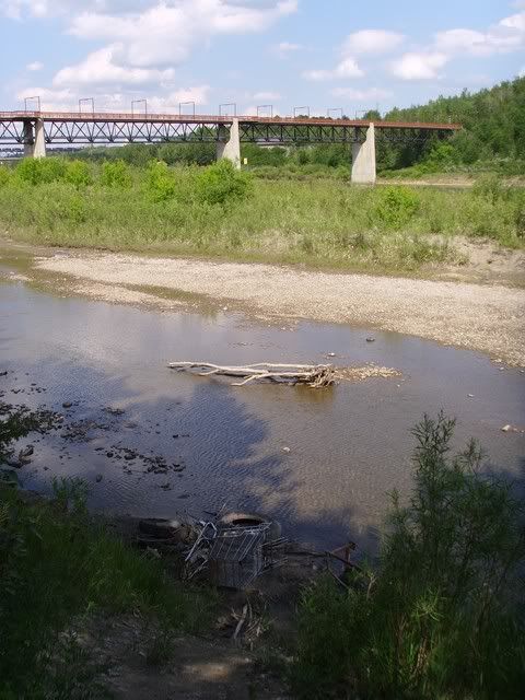
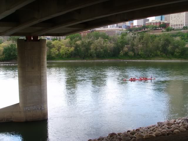
Cloverbar Foot Bridge
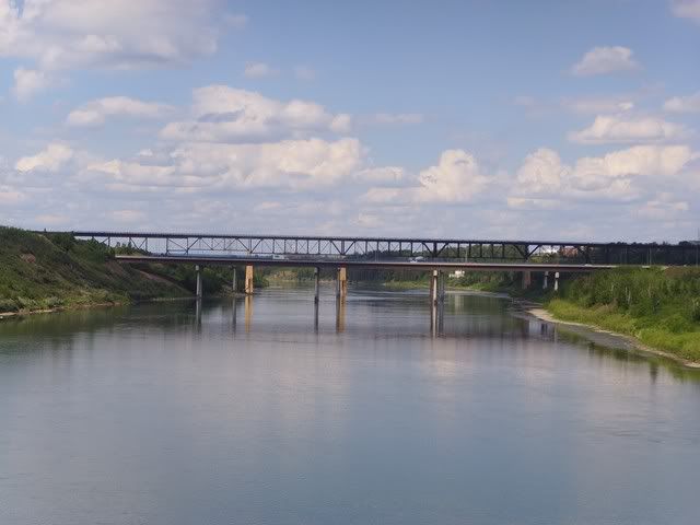
Beverly and Cloverbar Bridges, and a rail one in there too
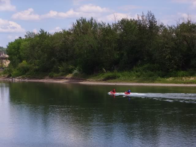
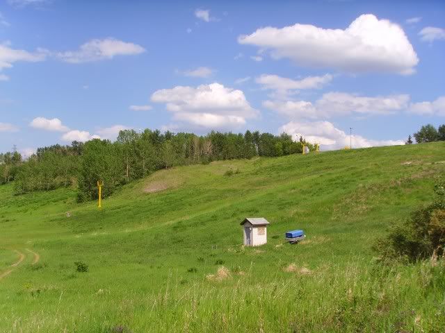
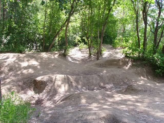
Sunridge Ski Hill's inner tube hill
Heading Back
Now I'm kind of lost. Looking back at the footbridge.
Let's try this way
And that really didn't work. Back I go. Still pretty lost.
Something I recognize
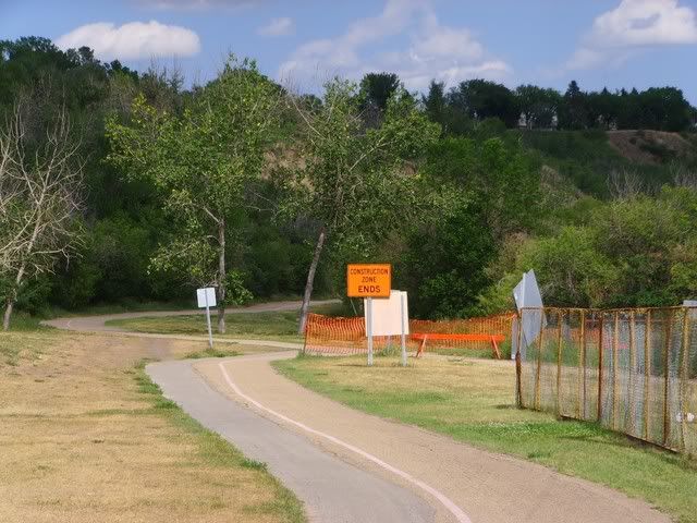
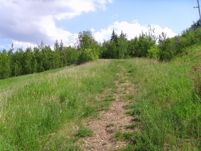
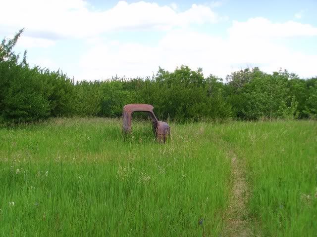
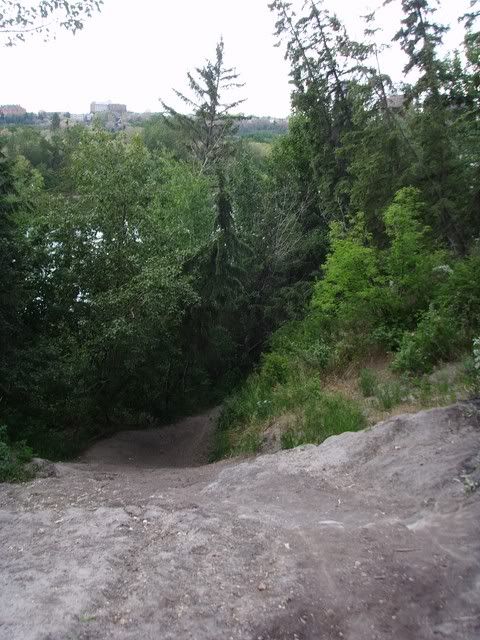
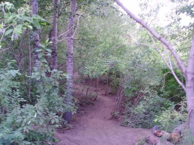
Lost Again
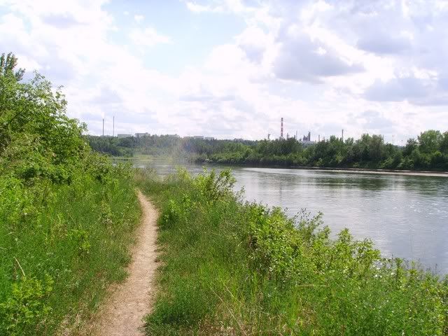
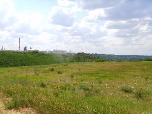
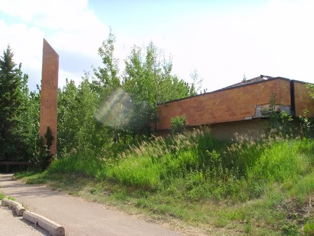
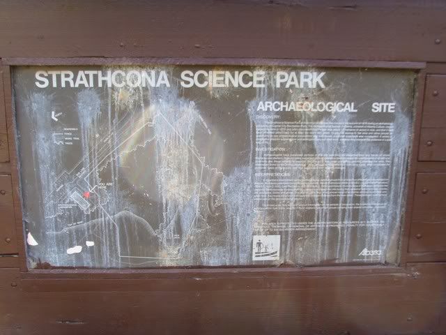
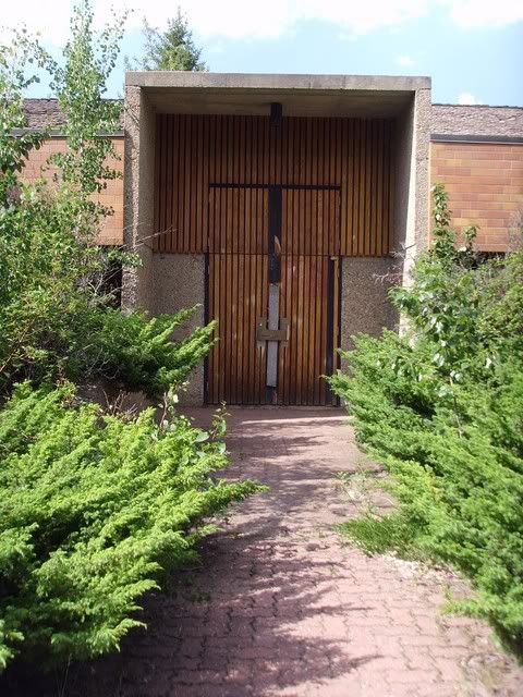
Suffice it to say, I wandered around in the trees for far too long before going back to the road by the Science Park that I knew would lead back to Sunridge, and the Cloverbar foot bridge. I was hoping for a connection on the South side past the refinery, but I went up when I maybe should have gone down? Anyway, a lot of backtracking to get back to Rundle Park again.
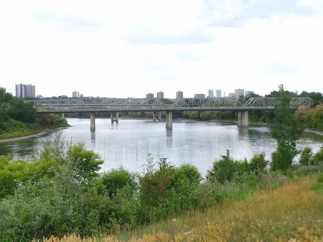
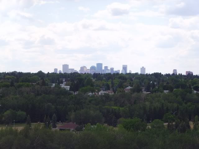
From the Rundle Park Foot Bridge heading back to the south side
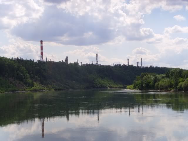
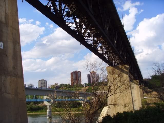
Capilano Foot Bridge again. The scent of the air coming of Goldbar's biofilters is always so pleasant (it really is).
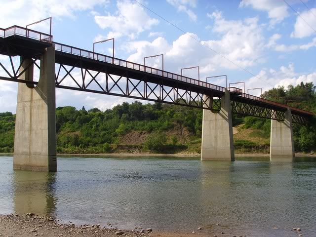
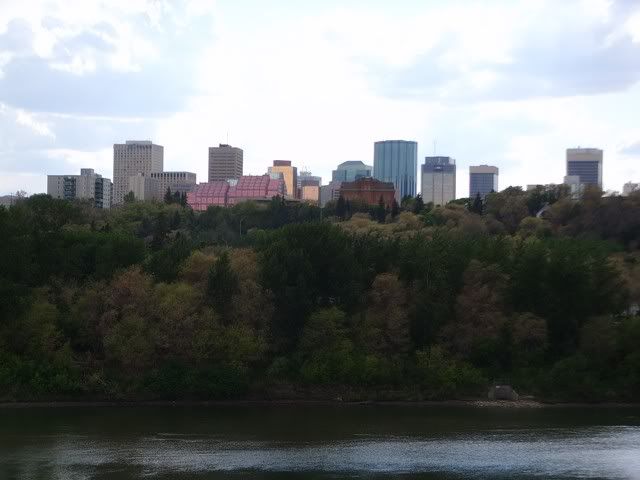
Capilano Bridge Again
Dawson Bridge Again
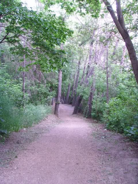
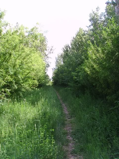
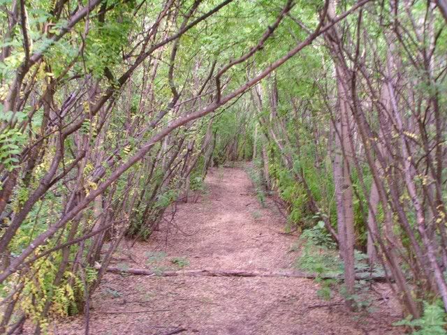
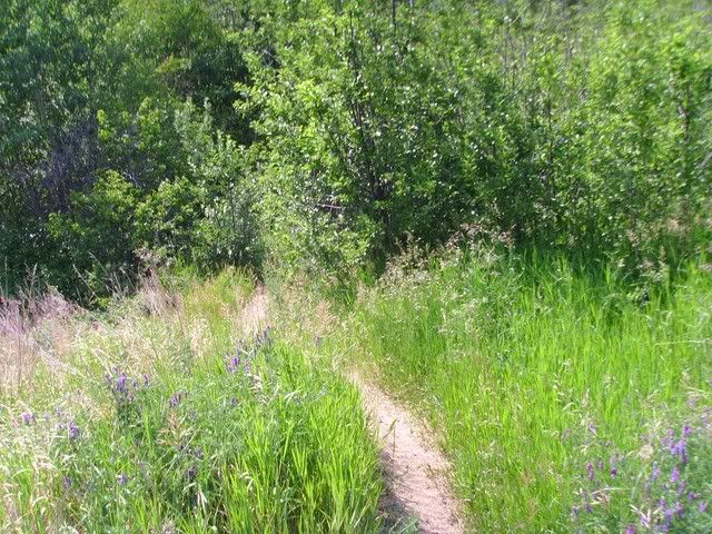
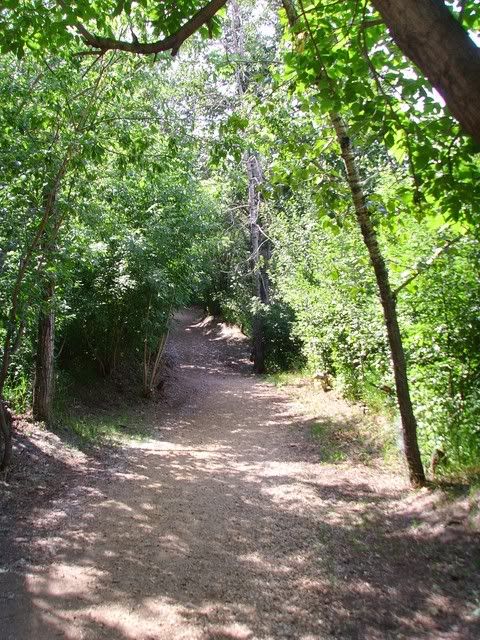
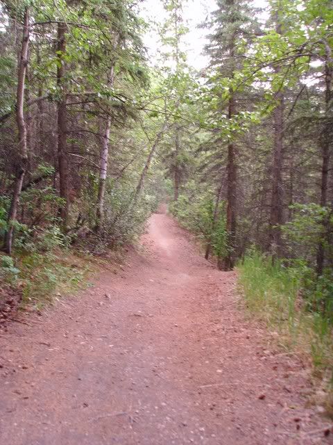
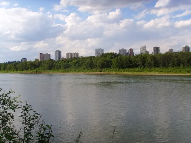
The stretch of trails between the Dawson and Mckinney is so much fun
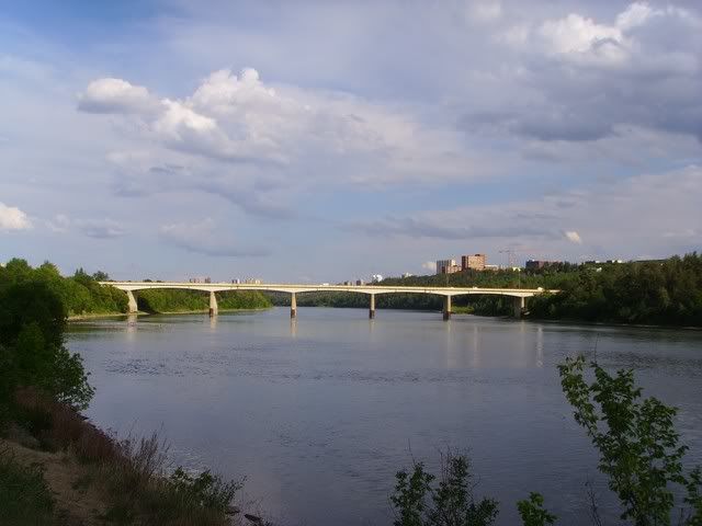
LMP foot bridge again
Low Level Again
James Macdonald Again
Walterdale Again
High Level and Menzies again
Groat Bridge from Mckinnon Ravine
Blurry, but it's a bridge
And a photo from that bridge
Bridge at 131st
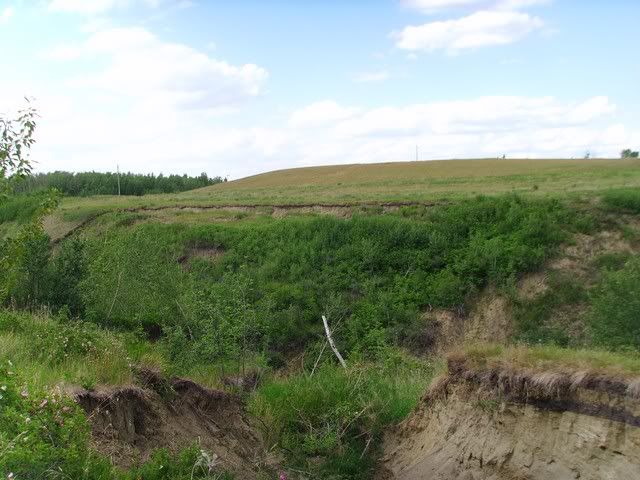
Iron bridge and Groat Ravine
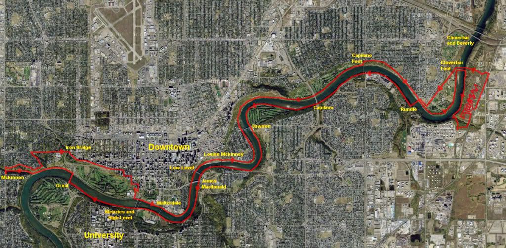
And here's a rough map of the route:
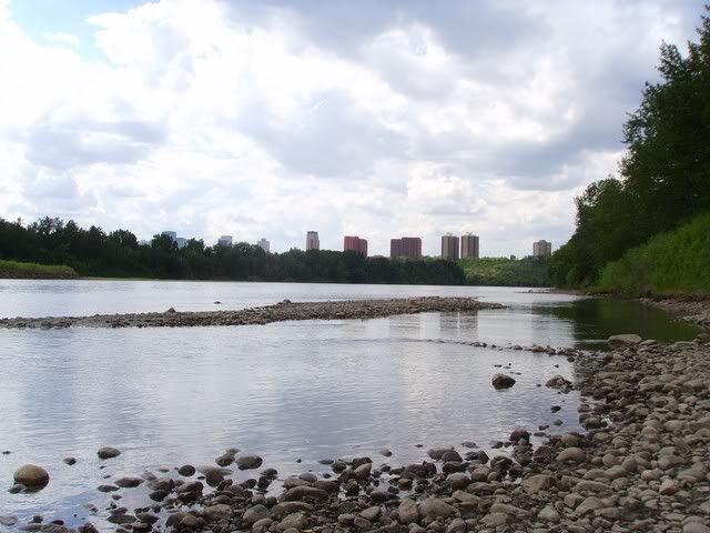
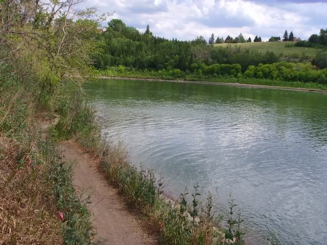
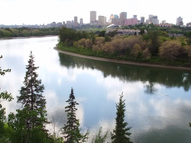
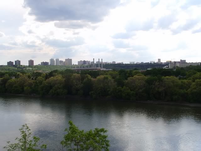
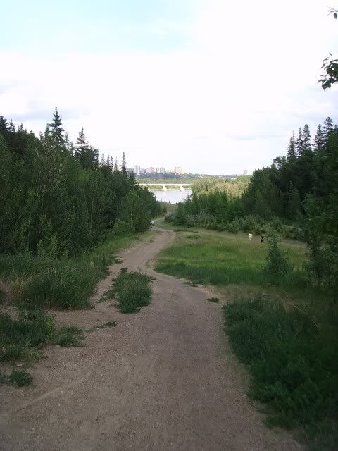
I'd never been past Goldbar park before so this was a bit of an adventure.
No comments:
Post a Comment